Quick Start
-
save_alt
Seagrass Density Protocol
-
save_alt
Seagrass Density Field Datasheet
-
save_alt
Seagrass Density Data Spreadsheet
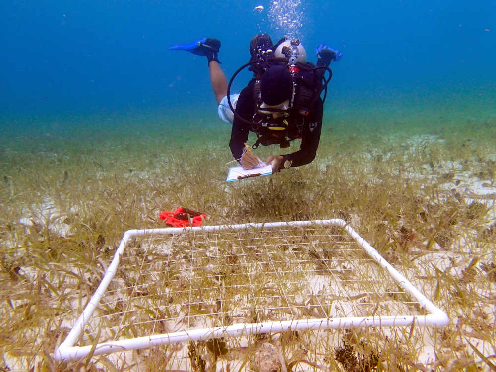
Overview
The abundance and composition of seagrasses and other underwater vegetation can be quantified quickly and non-destructively on scales of m to 10s of m by measuring cover and composition of species within replicated quadrats. These measurements can then be used to scale up to the ecosystem level by connecting to measures of seagrass meadow area and extent using aerial drone or satellite imagery, which often cannot distinguish between different species on the ground. Quadrats also provide the opportunity to observe other local-scale processes that operate within beds, such as the presence of macroinvertebrates and grazing impacts by macroherbivores (e.g., manatees, sea turtles).
Measured Parameters
- Percent cover of each species (in 5% bins of 0.25 m2)
- Macroinvertebrate abundance (number 0.25 m-2) and approximate size (cm)
- Grazing scars (present/absent)
- Shoot density (number 0.0625 m-2)
Selected Literature
McKenzie, L.J., Campbell, S.J. & Roder, C.A. (2003) Seagrass-Watch: Manual for Mapping & Monitoring Seagrass Resources by Community (citizen) volunteers. 2nd Edition.
Richardson, J. P., Lefcheck, J. S., & Orth, R. J. (2018). Warming temperatures alter the relative abundance and distribution of two co-occurring foundational seagrasses in Chesapeake Bay, USA. Marine Ecology Progress Series, 599, 65-74.
Short, F.T., McKenzie, L.J., Coles, R.G., Vidler, K.P., Gaeckle, J.L. (2006) SeagrassNet Manual for Scientific Monitoring of Seagrass Habitat, Worldwide edition. University of New Hampshire Publication.